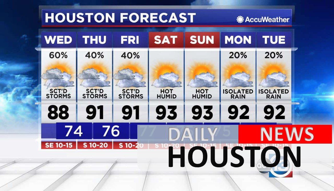
The pattern of heavy afternoon storms won’t break down until the weekend.
Frequent lightning, tropical funnel clouds and minor street flooding are possible.
Areas south of I-10 are more likely to get wet than our far northern communities this afternoon.
Upper winds are light, so the storms are not moving very quickly. As a result, some spots could get 1-3″ of rain again Wednesday. However, the rain shouldn’t last long enough for major bayou flooding.
Temperatures will be a few degrees lower because of the clouds and rain. When the sky turns mostly sunny this weekend, high temperatures will return to the 90s.


