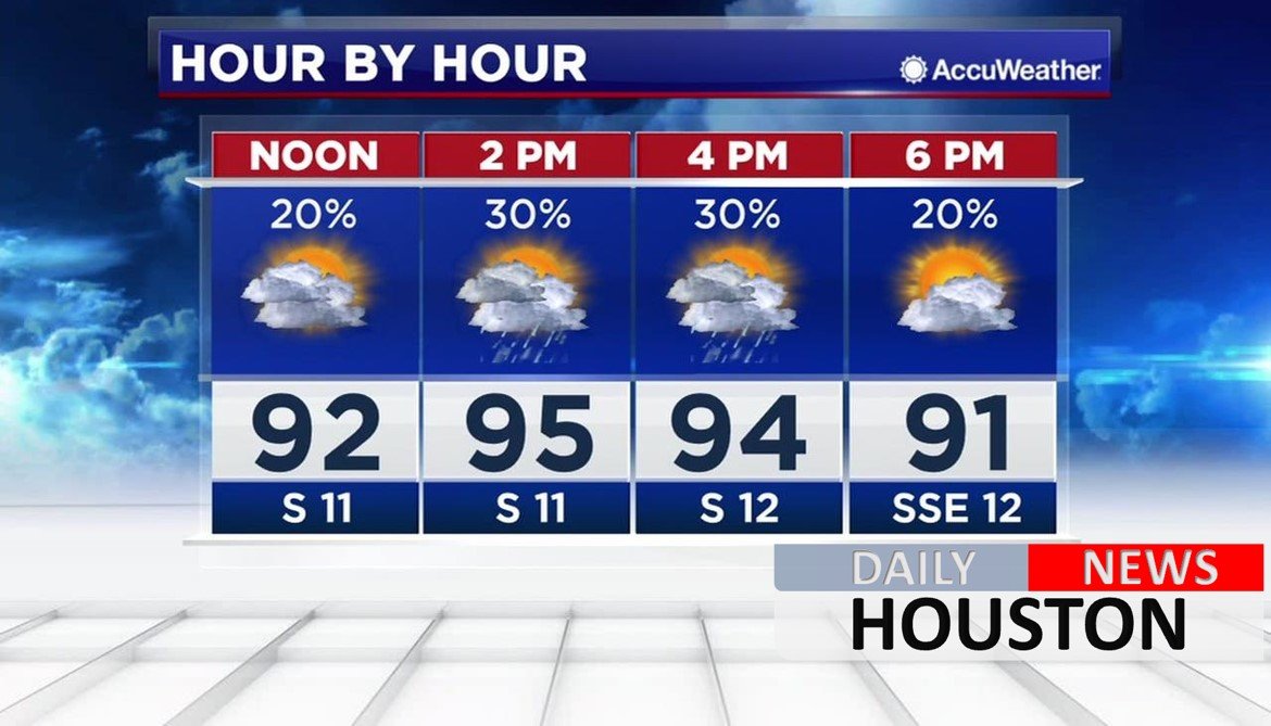
Hot and humid weather will continue through Tuesday, with a few showers dotting the radar through Wednesday. But relief is on the way.
A fall cool front blows in Wednesday. After sparking a couple of showers, the front will usher in an early fall, Canadian air mass that will last through the upcoming weekend. Along with much lower humidity, temps will be some 10-12 degrees below normal. Some of you could feel temps dip into the upper 50s Friday morning, which would be about 3 weeks ahead of schedule.
Although the weather is clearing up, it will be days and weeks before some bayous and rivers fall below flood stage.
Elsewhere in the tropics, Hurricane Irma in the central Atlantic Ocean is a major storm tracking westward toward the Caribbean. Tropical watches and warnings are already issued for some islands, including Puerto Rico, British Virgin Islands and U.S. Virgin Islands. Florida may even deal with the storm next weekend however forecast models currently show the storm turning north before reaching the Gulf. Hurricane season doesn’t end until November 30.
The highest rains recorded from Harvey are just shy of the United States record for a tropical system. The rain in Cedar Bayou, near Mont Belvieu, Texas, topped the 50-inch mark with 51.88 inches (132 centimeters) as of 3:30 p.m. CDT Tuesday. That’s a record for the continental U.S., but it doesn’t quite pass the 52 inches (133 centimeters) from tropical cyclone Hiki in Kauai, Hawaii, in 1950 (before Hawaii became a state). It is enough rain, however, to make Harvey the wettest tropical cyclone for Texas. By comparison, Tropical Storm Allison officially brought 40.68″ of rain to the Houston area.


